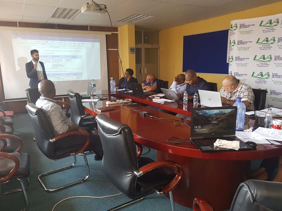
Spatial Dimension, a Trimble company, is pleased to announce that the Lesotho Land Administration Authority (LAA) is implementing Landfolio as the registry component to their new Integrated Land Information System Project. Esri South Africa is providing the Enterprise ArcGIS platform and survey integration tools.
The solution aims to enhance, integrate and automate national land administration business processes within LAA in pursuance of the regulatory requirements of Lesotho's land laws. The project included the update of processes and replacement of legacy systems, including the SOLA open source land registry solution.
The Lesotho Land Administration Authority (LAA) was established as an autonomous government body by the Land Administration Authority Act 2010 to modernize and improve land administration services and to reduce land transaction costs and the time it takes to acquire or dispose of a leasehold title to land.


