Skip to main content Skip to footer

Mining Cadastre

Landfolio is the world's leading mining cadastre management system.


Request a Demo

Mining Cadastre


A mining cadastre is the primary system used by government agencies worldwide to administer and track mineral titles, concessions and related licensing information. Serving as the central repository for mineral rights within a jurisdiction, it is often the cornerstone of the country’s mining and exploration sector and aims to provide a transparent and efficient framework for promoting responsible and sustainable mining practices.


For more than 20 years, Spatial Dimension has been at the forefront of developing modern, sustainable, browser based mining cadastre solutions on the Landfolio platform, for more than 25 government agencies around the world.


Request a mining cadastre demo

Request a Demo

Benefits of a Landfolio Mining Cadastre


Governments that implement a Landfolio mining cadastre system are able to:

Ensure legal compliance by license holders

A well developed mining solution will enable government agencies to manage, track and enforce compliance by license holders to the government's laws and regulations. 

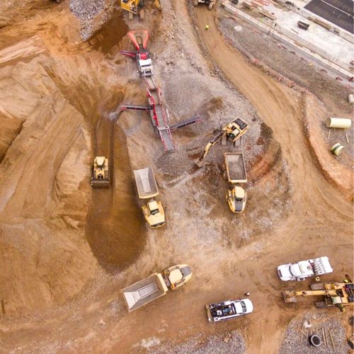
Licensing for the large and small scale mining sectors

In many countries, the artisanal and small-scale mining sector accounts for the majority of production. Landfolio offers an integrated mining cadastre solution which provides a coordinated, formalized approach toward the small-scale mining sector, while at the same time ensuring fair governance across the entire mining sector.

Maximize revenues and improve production reporting

One of the key objectives of mining regulating authorities is to maximize revenues for the government. Landfolio makes it easier to calculate and collect, all fees and royalties from mining activities, and provide an intuitive platform to report production results in a standardized format.

Improve transparency and attract responsible investment

In today's business environment, there are increasing demands for transparency from both industry stakeholders and civil society. Landfolio allows government agencies to record and report on every transaction across the license life-cycle, giving investors confidence to commit to long term projects in your country.

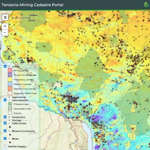
Easily accessible Mining Cadastre Map Portals

Landfolio Mining Cadastre Portals provide license holders, applicants, and other stakeholders with free public access with up-to-date mineral licensing information across the country. With the ability to customize map layers, provide data downloads, and display geoscience datasets, the portals can assist potential investors in making decisions and improve transparency.

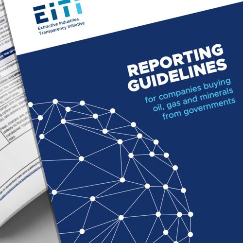
Quality data input for EITI reporting purposes

The Extractive Industries Transparency Initiative (EITI) has developed a Global Standard that promotes transparency and improved governance in a country’s extractives sector. Landfolio provides advanced reporting and data extraction functionality to facilitate the provision of data for EITI reports.


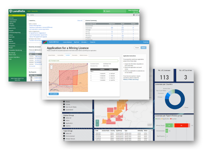
The Landfolio Mining Cadastre solution includes a comprehensive back office system for use by government officials which may also be coupled with an eGovernment Portal for public access by license holders, applicants and other stakeholders.


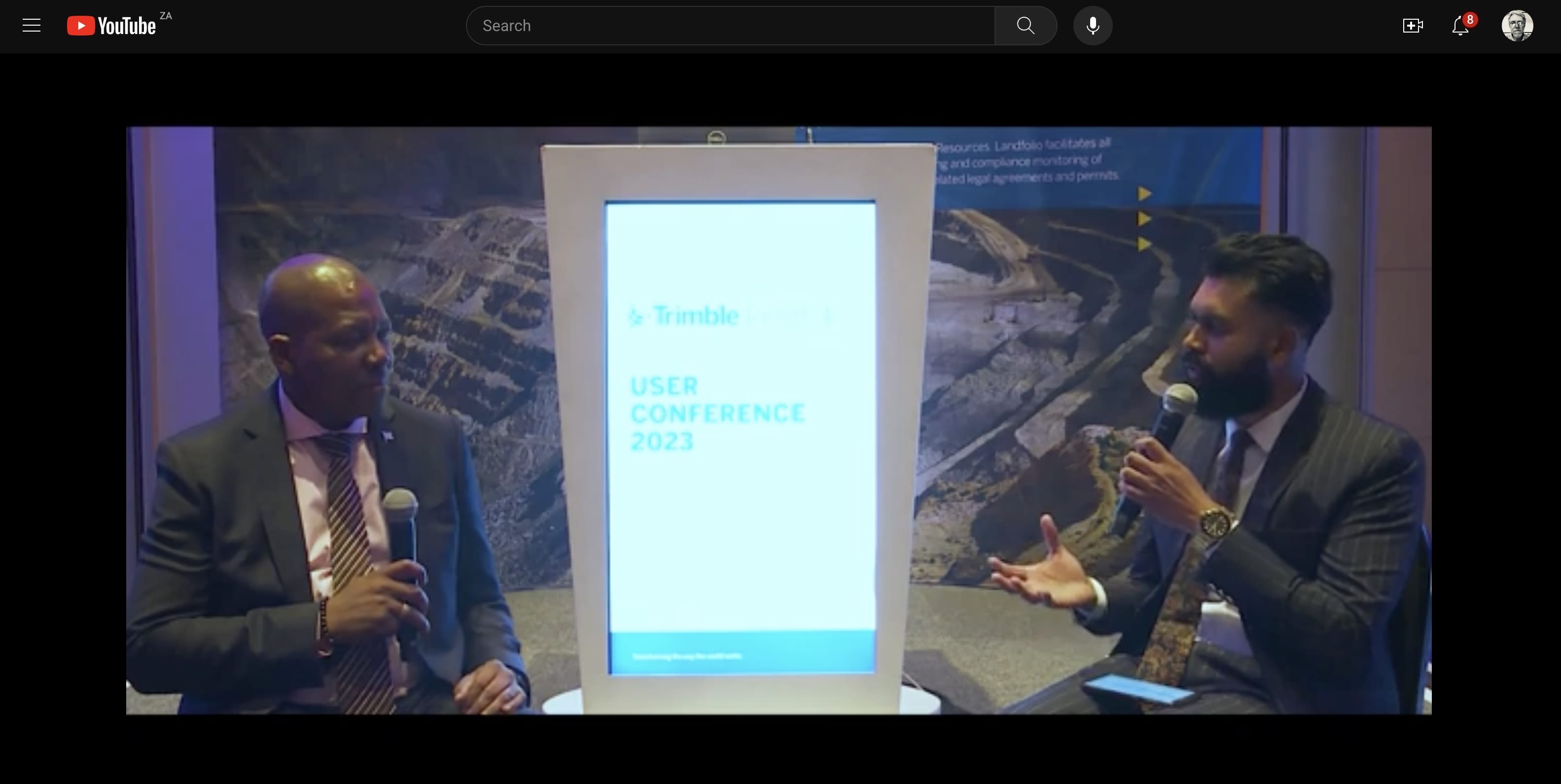
The availability of the Landfolio system is key to the development of the Nation and its implementation has placed the nation at an advantage.

The implementation of the system was straightforward, and users have not struggled to adopt it. Customers have loved the software which is my paramount concern with the Country at large. It has resolved a lot of operations and functions.

- Botswana Geoscience Institute

Talk to us