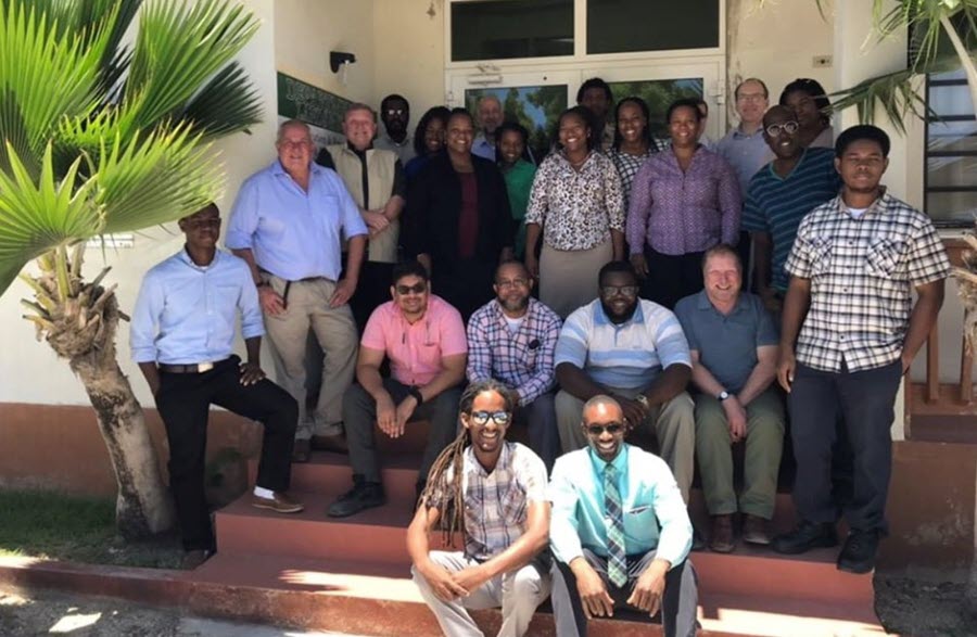
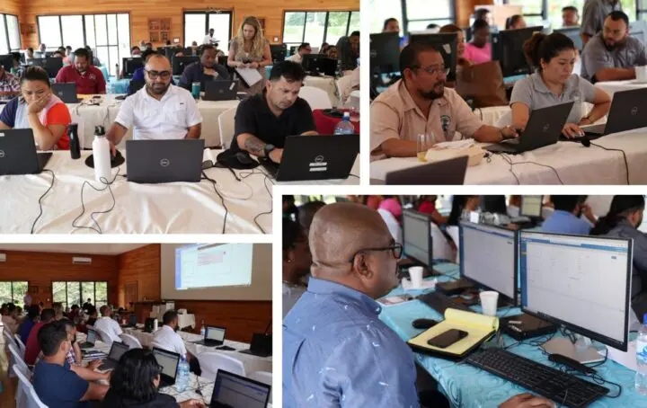
The Lands and Survey Department launched the Lands Information System Project (LIS) on Tuesday, June 11. This follows the signing of a contract with Trimble Inc, a US-based company that is to digitise the land information system in Anguilla.
Speaking at the launch, Deputy Governor Perin Bradley noted the importance of an accurate and fast lands record management system that will benefit customers and staff. He said it would also assist the government of Anguilla as part of its medium-term financial planning through efficient land revenue collection and improved governance.
The system will allow information on every parcel of land to be securely stored and enable the department to respond quickly to customers’ requests. This is seen as a great advancement for the island and will revolutionise land management in Anguilla. It will be faster, more efficient and secure. It is being funded as part of the Anguilla Programme 60 million pound sterling grant.
Records up to now have been kept on paper and stored in vaults, which makes amending them time consuming for the department and its clients. There are over 200,000 individual records stored. When Hurricane Irma struck in September 2017, the storage vault avoided flooding by mere inches. This would have been catastrophic for the island. Also storage space is very limited so the digital system is a great step forward.
Source: The Daily Herald https://www.thedailyherald.sx/islands/88313-lands-and-survey-launches-lands-information-system


